
Breckenridge Hiking
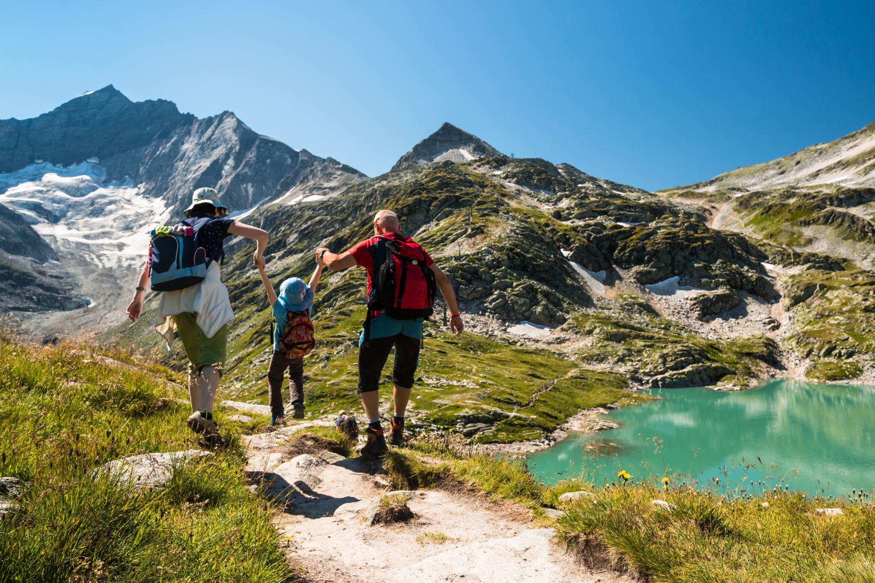
The surrounding mountains of Breckenridge provide endless opportunities for hiking with stunning views of mountaintops, rivers, lakes, wildflowers, aspen groves, waterfalls and wildlife. When entering the backcountry in the summer, it is important to start early, bring layers and a rain jacket, and bring plenty of water and snacks. Afternoon thunderstorms are very likely in the high country, so it is a rule of thumb to be down by 2pm. The sun is much stronger at altitude and the weather can change frequently and in an instant so it is key to bring extra layers for protection, including a hat, sunglasses and gloves. Pack extra water and snacks because you dehydrate faster and hiking can be tiresome. With these tips in mind, get out there and enjoy the views of some of our top hiking trails in Breckenridge!
Easy Breckenridge Hiking Trails
Hoosier Pass Loop - This 3-mile loop at the top of Hoosier Pass allows for an alpine experience without having to huff it up a mountain.Directions to Hoosier Pass Loop Trailhead: To get there, head south from Breckenridge on CO-9 and continue to the top of Hoosier Pass. There is a sign for the Continental Divide on the side of the road which you park next to and can hike from there.
Moderate Breckenridge Hiking Trails
Directions to Spruce Creek Road to Mohawk Lakes Trailhead: Take Highway 9 South of Breckenridge then take a right into The Crown subdivision at Spruce Creek Road. Follow the main road, taking left turns at most intersections. Look for blue diamonds on the trees while driving through the subdivision which will lead you through other intersections that may not be left turns. The 2WD trailhead will be on the left after about 1.2 miles. 4WD and high-clearance vehicles can continue an additional 1.5 miles to the upper trailhead.
Blue Lakes-Monte Cristo Gulch - Monte Cristo Gulch is a lightly trafficked 2.8 mile out and back trail that features a lake and extraordinary views. The trail begins at 11,748 feet and the trail leads to a historic mining area surrounded by alpine lakes.
Directions to Monte Cristo Gulch Trailhead: Take Highway 9 eight miles south of Breckenridge to Blue Lakes Road (No. 850). Turn right and follow the road for 2.2 miles to parking area just below the dam.
Breckenridge Hiking Trails with Waterfalls
Spruce Creek Road to Mohawk Lakes and Continental Falls - ModerateContinental Falls is the largest waterfall near Breckenridge and can be accessed by Spruce Creek Road to Mohawk Lakes Trail.
Directions to Spruce Creek Road to Mohawk Lakes Trailhead: Take Highway 9 South of Breckenridge then take a right into The Crown subdivision at Spruce Creek Road. Follow the main road, taking left turns at most intersections. Look for blue diamonds on the trees while driving through the subdivision which will lead you through other intersections that may not be left turns. The 2WD trailhead will be on the left after about 1.2 miles. 4WD and high-clearance vehicles can continue an additional 1.5 miles to the upper trailhead.
McCullough Gulch - Moderate
McCullough Gulch is a 6.2 mile out and back trail that features a lake and series of smaller waterfalls.
Directions to McCullough Gulch Trailhead:
Take Highway 9, 7.6 miles South of Breckenridge to Blue Lakes Drive (No. 850). Turn right onto Blue Lakes Drive and continue for about 100 yards to McCullough Gulch Road (No. 851). Turn right and continue for 2.2 miles, staying left at the y-junction, to the parking area at the trailhead.